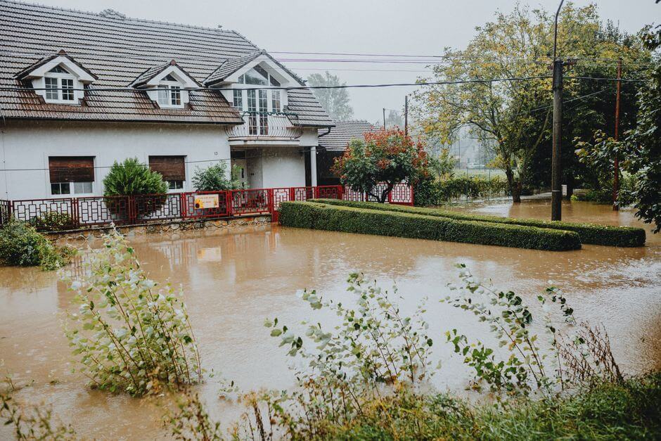
FEMA Releases Preliminary Flood Maps for Lafayette County Watersheds
FEMA has released Preliminary Flood Insurance Rate Maps for the Yocona and Little Tallahatchie watersheds in Lafayette County, Mississippi. The maps provide residents with updated information on flood risk and property flood zones.
Residents are encouraged to look up their parcels to see how their flood zones may change under the new maps. The updates could impact flood insurance requirements and property assessments, FEMA said.
An open house is scheduled for August 11, 2026, to inform residents and answer questions about the flood map updates, FEMA added. Further details about the open house are available on FEMA’s website.
Source: Original Article