FEMA Proposes New Flood Maps for Parts of Lafayette County
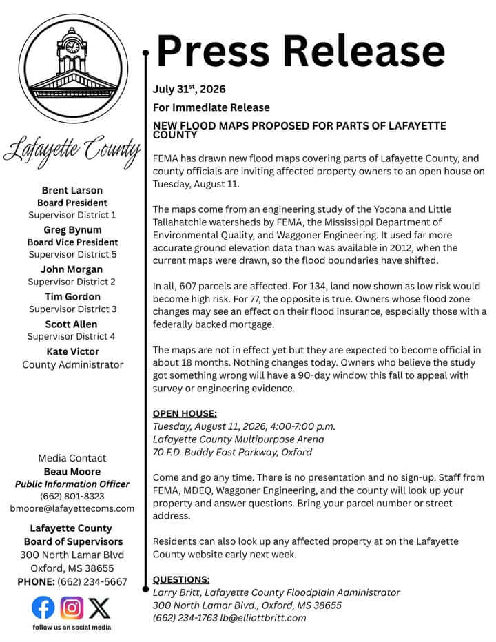
FEMA has released proposed new flood maps for parts of Lafayette County. The maps result from an engineering study of the Yocona and Little Tallahatchie watersheds conducted by FEMA, the Mississippi Department of Environmental Quality, and Waggoner Engineering.
The study used more accurate ground elevation data than previous maps from 2012, causing shifts in flood zone boundaries. A total of 607 parcels are affected. According to FEMA, 134 parcels currently classified as low risk would be designated as high risk, while 77 parcels now considered high risk would be reclassified as low risk.
The updated maps are not yet in effect but are expected to become official in approximately 18 months. Property owners whose flood zone status changes may see impacts on their flood insurance, especially those with federally backed mortgages. Those who believe the study contains inaccuracies will have a 90-day window this fall to appeal using survey or engineering evidence.
An open house is scheduled for Tuesday, August 11, 2026, from 4 to 7 p.m. at the Lafayette County Multipurpose Arena, located at 70 F.D. Buddy East Parkway in Oxford. Attendees can come and go at any time; there is no formal presentation or registration. Staff from FEMA, the Mississippi Department of Environmental Quality, Waggoner Engineering, and Lafayette County will be available to answer questions and review properties. Residents are encouraged to bring parcel numbers or street addresses. Property information will also be available online early next week.
For questions, contact Larry Britt, Lafayette County Floodplain Administrator, at (662) 234-1763 or lb@elliottbritt.com.
Source: Original Article