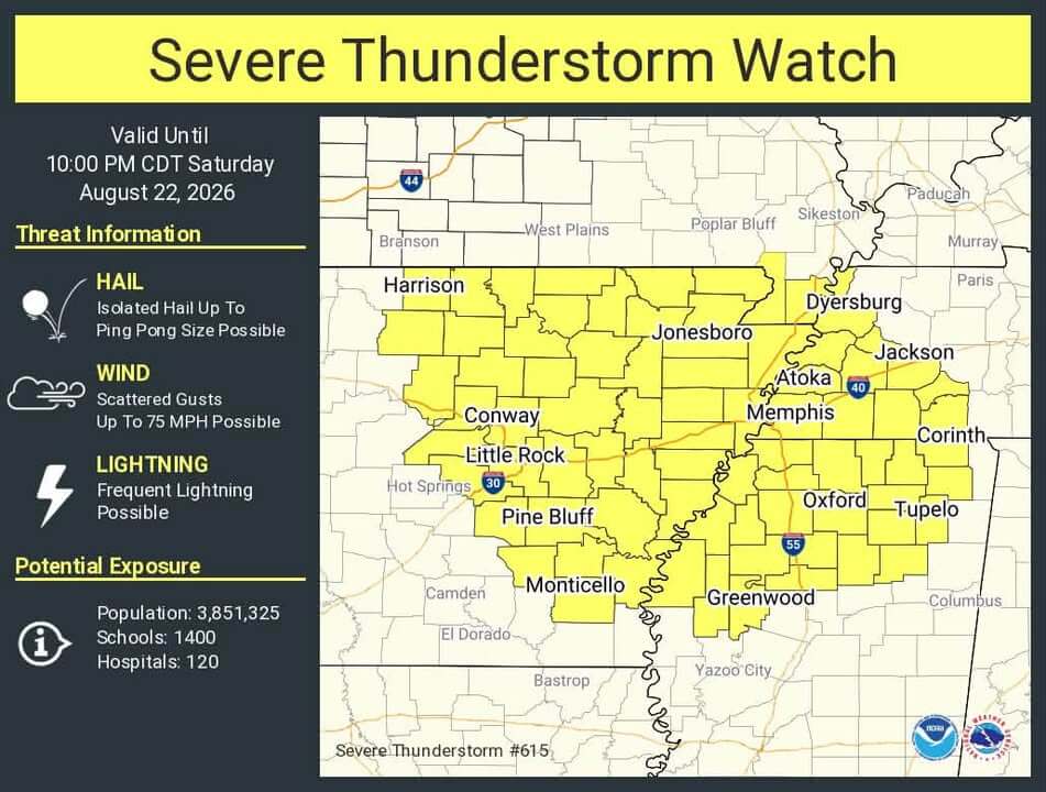
Lafayette County under Severe Thunderstorm Watch until 10 p.m. Saturday
The National Weather Service in Memphis has issued a Severe Thunderstorm Watch for Lafayette County until 10 p.m. CDT Saturday. The watch is in effect due to the potential for damaging straight-line winds and large hail, with the highest risk window between 3 p.m. and 10 p.m., according to the agency.
A watch indicates conditions are favorable for severe storms but does not require immediate action. Residents are urged to stay alert, charge electronic devices, and secure outdoor items such as trash cans and canopies. They should also secure livestock, move vehicles away from trees, and identify a safe location inside their homes.
Officials recommend having multiple ways to receive weather alerts, including NOAA Weather Radio and phone notifications. Drivers should exercise caution during the storms, watch for sudden downpours and debris, and avoid driving if visibility is poor. Never touch downed power lines, as they may be energized, and report outages to utility providers.
In addition to the storm threat, a heat index near 103 degrees is expected. Residents are advised to hydrate frequently and take breaks in shaded areas. Emergency contacts include 911 for urgent situations and the Lafayette County Sheriff’s Office non-emergency line for storm debris or road obstructions.
The National Weather Service will provide updates if warnings are issued for the area. Lafayette County residents are encouraged to stay weather-aware throughout the evening.
Source: Original Article